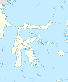
Bau-Bau
| Ten artykuł od 2014-04 wymaga zweryfikowania podanych informacji. |
 | |||
| |||
| Państwo | |||
|---|---|---|---|
| Prowincja | |||
| Powierzchnia | 221 km² | ||
| Populacja (2004) • liczba ludności | 120 500 | ||
| Strona internetowa | |||
Bau-Bau – miasto w Indonezji na wyspie Buton nad morzem Flores w prowincji Celebes Południowo-Wschodni; powierzchnia 221 km²; 120,5 tys. mieszkańców (2004).
Główny port morski prowincji (wywóz ryb, kopry, kawy, tytoniu, cukru).
19 lutego 2005 nawiedzone przez trzęsienie ziemi o sile 6,9 w skali Richtera.
Linki zewnętrzne
Media użyte na tej stronie
Autor: Uwe Dedering, Licencja: CC BY-SA 3.0
Location map of Indonesia.
Equirectangular projection. Stretched by 100.0%. Geographic limits of the map:
- N: 6.5° N
- S: -11.5° N
- W: 94.5° E
- E: 141.5° E
bendera Indonesia
Coat of arms of Bau-Bau city, South East Sulawesi
Perisai Lima (shield of five) is the emblem of Southeast Sulawesi Province of Indonesia. Depicting the image of Anoa head, chains, and ears of rice and cottons. Anoa is an endemic animal of Sulawesi, especially Southeast Sulawesi, the connecting chain symbolize strength of unity, ears of rice and cotton symbolize welfare and wealth for people.
Autor: MosheA, Licencja: CC BY-SA 4.0
View of the city of Bau-Bau from the Buton Palace Fortress.
Autor: NordNordWest, Licencja: CC BY-SA 3.0 de
Location map of Sulawesi, Indonesia


