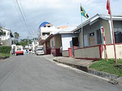
Morant Bay
 | |
| Państwo | |
|---|---|
| Gmina | |
Morant Bay – miasto w południowo-wschodniej Jamajce w hrabstwie Surrey. Miasto jest stolicą regionu Saint Thomas. W 1865 roku doszło w miejscowości do jednej z większych rebelii w historii Jamajki wznieconej przez niewolników .
Miasta partnerskie
Media użyte na tej stronie
Flag of Jamaica. “The sunshine, the land is green, and the people are strong and bold” is the symbolism of the colours of the flag. GOLD represents the natural wealth and beauty of sunlight; GREEN represents hope and agricultural resources; BLACK represents the strength and creativity of the people. The original symbolism, however, was "Hardships there are, but the land is green, and the sun shineth", where BLACK represented the hardships being faced.
The flag of Navassa Island is simply the United States flag. It does not have a "local" flag or "unofficial" flag; it is an uninhabited island. The version with a profile view was based on Flags of the World and as a fictional design has no status warranting a place on any Wiki. It was made up by a random person with no connection to the island, it has never flown on the island, and it has never received any sort of recognition or validation by any authority. The person quoted on that page has no authority to bestow a flag, "unofficial" or otherwise, on the island.


