Nebelhorn
| ||
 | ||
| Państwo | ||
| Położenie | Bawaria | |
| Pasmo | Alpy Algawskie | |
| Wysokość | 2224 m n.p.m. | |
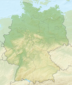
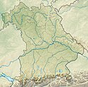
Nebelhorn – szczyt w Alpach Algawskich, części Alp Bawarskich. Leży w Niemczech, w Bawarii, przy granicy z Austrią. Na szczyt prowadzi kolejka linowa – Nebelhornbahn. Dolna stacja znajduje się w Oberstdorfie. Na szczyt można dostać się także via ferratą Hindelang. Nebelhorn jest też ośrodkiem narciarskim.
Bibliografia
- Alpenvereinsführer Allgäuer Alpen und Ammergauer Alpen alpin, 16. Auflage 2004, Bergverlag Rudolf Rother, München, ISBN 3-7633-1126-2
Media użyte na tej stronie
Autor: derivative work Виктор_В, Licencja: CC BY-SA 3.0
Relief map of Germany
Black up-pointing triangle ▲, U+25B2 from Unicode-Block Geometric Shapes (25A0–25FF)
Geißfuß und Nebelhorn vom Schattenberg
Autor: Hajotthu, Licencja: CC BY-SA 3.0
Seilbahnstation Hofätsblick und Sesselbahn zum Gipfel des Nebelhorns
Autor: Johnnes D., Licencja: CC-BY-SA-3.0
Blick auf das Nebelhorn von der Nebelhornbahn aus
Autor: Grundkarte TUBS, Relief Alexrk2, Licencja: CC BY-SA 3.0
Physical Location map Bavaria, Germany. Geographic limits of the map:
Nebelhornbahn Gipfel, selbst fotografiert, gemeinfrei Aufgenommen am 30-08-2002 um 14:59 von Markus Riesenbeck


