Nyaung-U
© Vyacheslav Argenberg / http://www.vascoplanet.com/, CC BY 4.0 | |
| Państwo | |
|---|---|
| Prowincja | |
| Populacja (2014) • liczba ludności |
|
Nyaung-U – miasto w Mjanmie, w prowincji Mandalaj. Według danych na rok 2014 liczyło 48 528 mieszkańców.
Media użyte na tej stronie
Nyaung-U, Bagan, Myanmar, The shores of Irrawaddy River.jpg
© Vyacheslav Argenberg / http://www.vascoplanet.com/, CC BY 4.0
It is the Myanmar's largest river and most important commercial waterway. After Rudyard Kipling's poem, Irrawaddy River is referred to as 'The Road to Mandalay'. Nyaung-U, Bagan, Pagan, Myanmar.
© Vyacheslav Argenberg / http://www.vascoplanet.com/, CC BY 4.0
It is the Myanmar's largest river and most important commercial waterway. After Rudyard Kipling's poem, Irrawaddy River is referred to as 'The Road to Mandalay'. Nyaung-U, Bagan, Pagan, Myanmar.
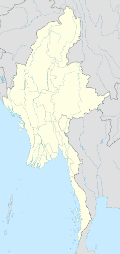
Myanmar location map.svg
Autor: Uwe Dedering, Licencja: CC BY-SA 3.0
Location map of Myanmar. Equirectangular projection. Strechted by 105.0%. Geographic limits of the map: * N: 29.0° N * S: 9.0° N * W: 92.0° E * E: 102.0° E Made with Natural Earth. Free vector and raster map data @ naturalearthdata.com.
Autor: Uwe Dedering, Licencja: CC BY-SA 3.0
Location map of Myanmar. Equirectangular projection. Strechted by 105.0%. Geographic limits of the map: * N: 29.0° N * S: 9.0° N * W: 92.0° E * E: 102.0° E Made with Natural Earth. Free vector and raster map data @ naturalearthdata.com.


