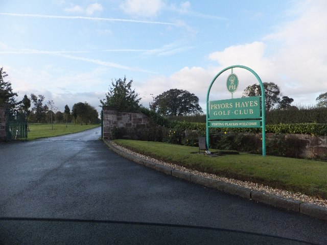
Prior’s Heys
 (c) David Smith, CC BY-SA 2.0 | |
| Państwo | |
|---|---|
| Kraj | |
| Hrabstwo ceremonialne | Cheshire |
| Unitary authority | Cheshire West and Chester |
| Populacja (2001) • liczba ludności | 10 |
| Nr kierunkowy | 01829 |
| Kod pocztowy | CH3 |
Położenie na mapie Cheshire  Contains Ordnance Survey data © Crown copyright and database right, CC BY-SA 3.0 | |
Położenie na mapie Wielkiej Brytanii  (c) Karte: NordNordWest, Lizenz: Creative Commons by-sa-3.0 de | |
Położenie na mapie Anglii  | |
| Portal | |
Prior's Heys – wieś w Anglii, w hrabstwie ceremonialnym Cheshire, w dystrykcie (unitary authority) Cheshire West and Chester. Leży 13 km na wschód od miasta Chester i 257 km na północny zachód od Londynu[1]. W 2001 miejscowość liczyła 10 mieszkańców.
Przypisy
- ↑ Prior's Heys na mapie (ang.). getamap.ordnancesurvey.co.uk. [dostęp 2010-10-06].
Media użyte na tej stronie
(c) Karte: NordNordWest, Lizenz: Creative Commons by-sa-3.0 de
Location map of the United Kingdom


Flag of England. Saint George's cross (a red cross on a white background), used as the Flag of England, the Italian city of Genoa and various other places.
Contains Ordnance Survey data © Crown copyright and database right, CC BY-SA 3.0
Map of Cheshire, UK with the following information shown:
- Administrative borders
- Coastline, lakes and rivers
- Roads and railways
- Urban areas
Equirectangular map projection on WGS 84 datum, with N/S stretched 165%
Geographic limits:
- West: 3.15W
- East: 1.95W
- North: 53.50N
- South: 52.94N
(c) David Smith, CC BY-SA 2.0
Golf course entrance, CTYPE html PUBLIC "-//W3C//DTD XHTML 1.0 Strict//EN"
"http://www.w3.org/TR/xhtml1/DTD/xhtml1-strict.dtd">
<html xmlns="http://www.w3.org/1999/xhtml" xml:lang="en" id="geograph"> <head>
<title>Golf course entrance:: OS grid SJ5166 :: Geograph Britain and Ireland - photograph every grid square!</title> <meta http-equiv="Content-Type" content="text/html; charset=iso-8859-1" /> <meta name="description" content="SJ5166 :: Golf course entrance, near to Oscroft, Cheshire, Great Britain" /> <meta name="ICBM" content="53.193678810942, -2.7341189354831"/> <meta name="DC.title" content="Geograph:: Golf course entrance:: OS grid SJ5166"/> <meta property="og:image" content="http://s0.geograph.org.uk/geophotos/02/66/27/2662727_7525a812.jpg"/> <link rel="stylesheet" type="text/css" title="Monitor" href="http://s1.geograph.org.uk/templates/basic/css/basic.v7747.css" media="screen" /> <link rel="shortcut icon" type="image/x-icon" href="http://s1.geograph.org.uk/favicon.ico"/> <link rel="alternate" type="application/vnd.google-earth.kml+xml" href="/photo/2662727.kml"/> <link rel="search" type="application/opensearchdescription+xml" title="Geograph Britain and Ireland search" href="/stuff/osd.xml" /> <script type="text/javascript" src="http://s1.geograph.org.uk/js/geograph.v7635.js"></script> </head> <body>