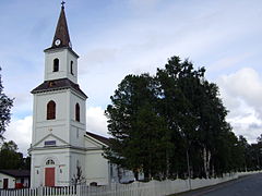
Sorsele
| ||
 | ||
| Państwo | ||
| Region | Västerbotten | |
| Gmina | Sorsele | |
| Powierzchnia | 1,91[1] km² | |
| Populacja (2018) • liczba ludności • gęstość | 1168[1] 612[1] os./km² | |
| 65,527683°N 17,530300°E/65,527683 17,530300 | ||
| Portal | ||
Sorsele – miejscowość (tätort) w Szwecji, w regionie administracyjnym (län) Västerbotten, siedziba gminy Sorsele.
Według danych Szwedzkiego Urzędu Statystycznego liczba ludności wyniosła: 1175 (31 grudnia 2015), 1168 (31 grudnia 2018) i 1134 (31 grudnia 2019)[1].
Przypisy
- ↑ a b c d Statistiska tätorter 2018; befolkning, landareal, befolkningstäthet (szw.). Statistikmyndigheten SCB, 2020-03-20. [dostęp 2020-09-08]. [zarchiwizowane z tego adresu (2020-03-24)].
Media użyte na tej stronie
Autor: Erik Frohne, Licencja: CC BY-SA 3.0
Location map of Västerbotten county in Sweden
Equirectangular projection, N/S stretching 235 %. Geographic limits of the map:
- N: 66.40° N
- S: 63.30° N
- W: 14.10° E
- E: 21.70° E


