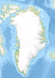
Zatoka Melville’a
| ||
 | ||
| Państwo | ||
| Terytorium zależne | ||
| Lokalizacja | Morze Baffina | |
| Miejscowości nadbrzeżne | Savissivik | |
Zatoka Melville’a (grl.: Qimusseriarsuaq; duń.: Melville Bugt) – zatoka na północno-zachodnim wybrzeżu Grenlandii, nad Morzem Baffina. Szerokość u wejścia wynosi ok. 300 km. Maksymalna głębokość to ok. 1000 m.
Bibliografia
Media użyte na tej stronie
Melville Bay, Greenland
Autor: Uwe Dedering, Licencja: CC BY-SA 3.0
Relief location map of Greenland.
- Projection: EquiDistantConicProjection.
- Area of interest:
- N: 85.0° N
- S: 59.0° N
- W: -75.0° E
- E: -10.0° E
- Projection center:
- NS: 72.0° N
- WE: -42.5° E
- Standard parallels:
- 1: 64.0° N
- 2: 80.0° N
- GMT projection: -JD-42.5/72/64/80/20c
- GMT region: -R-60.16/57.61/24.5/79.91r
- GMT region for grdcut: -R-120.24/57.61/24.5/85.78r
- Relief: SRTM30plus.
- Made with Natural Earth. Free vector and raster map data @ naturalearthdata.com.


