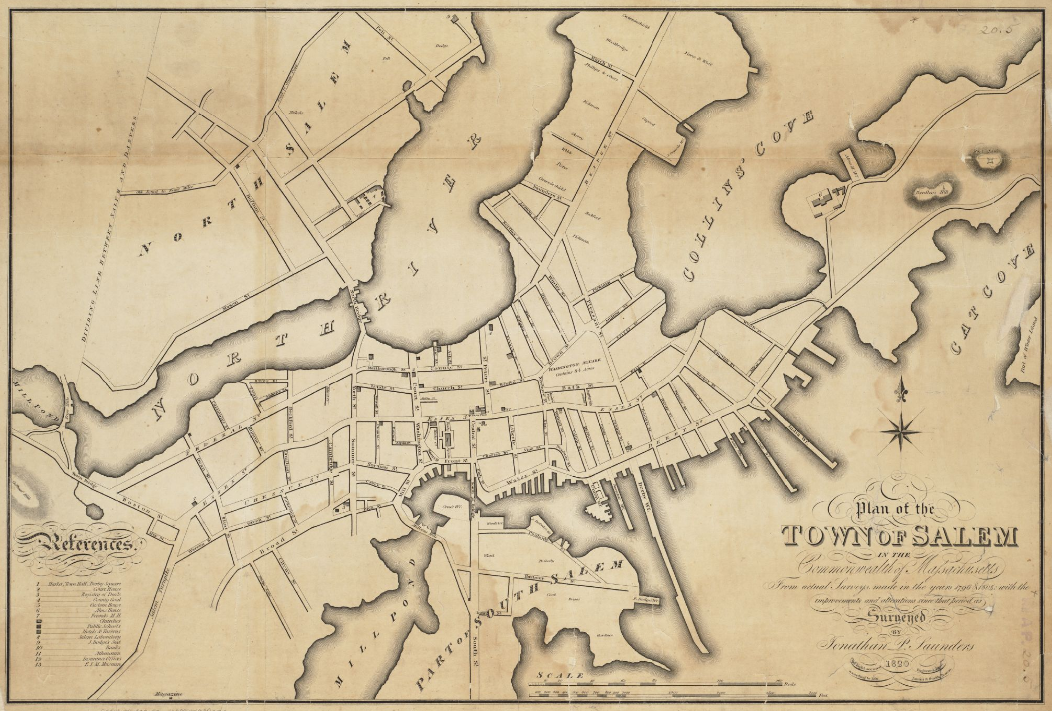
1820 Salem Massachusetts map bySaunders BPL 12094
Autor:
Saunders, Jonathan Peele
Krótki link:
źródło:
Wymiary:
1052 x 711 Pixel (1253611 Bytes)
Opis:
Plan of the town of Salem in the commonwealth of Massachusetts, from actual surveys, made in the years 1796 & 1804; with the improvements and alterations since that period as surveyed
Licencja:
Public domain
Więcej informacji o licencji można znaleźć tutaj. Ostatnia aktualizacja: Sun, 16 Oct 2022 22:50:50 GMT