Anenii Noi county
Autor:
Credit:
Topographic data SRTM from NASA and World Imagery & 3DEM & Inkscape
Krótki link:
źródło:
Wymiary:
400 x 513 Pixel (874171 Bytes)
Opis:
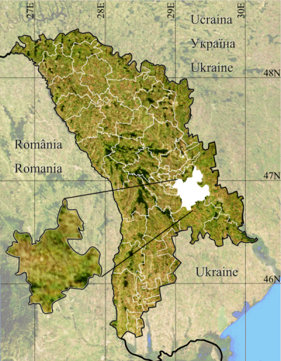
Anenii Noi county.
- Geographic limits of the map :
- Left : 26.5 E
- Right : 30.5 E
- Top : 48.75 N
- Bottom : 45.25 N
Licencja:
Public domain
Więcej informacji o licencji można znaleźć tutaj. Ostatnia aktualizacja: Sat, 03 Sep 2022 04:15:15 GMT