Claude Bernou Carte de lAmerique septentrionale
Autor:
Bernou, Claude (b. 16..–d. 17..), Abbot
Credit:
Uploaded by David.Monniaux
Krótki link:
źródło:
Wymiary:
3841 x 3641 Pixel (6140476 Bytes)
Opis:
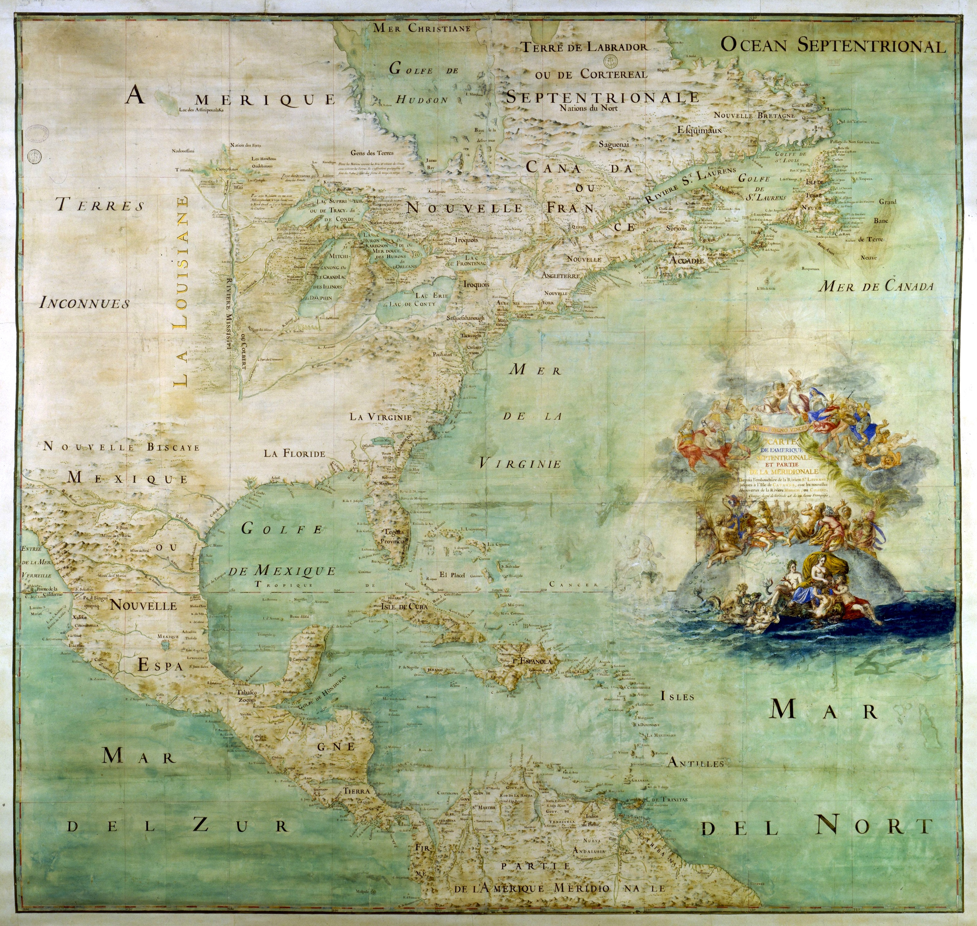
Map of the northern part and parts of the southern parts of the America, from the mouth of the Saint Laurent River to the Island of Cayenne,with the new discoveries of the Mississipi (or Colbert) River. This map shows the results of the expeditions of Father Marquette and L. Jolliet (1673) and the Cavelier de la Salle expedition in the Mississipi valley. The map shows three forts built between 1679 and 1680: Conty fort (near Niagara Falls), Miamis Fort (south of Michigan lake), and Crèvecœur fort (Left bank of the Illinois River). Mississippi river course is only shown upstream of Ohio confluence.
Licencja:
Public domain
Więcej informacji o licencji można znaleźć tutaj. Ostatnia aktualizacja: Mon, 02 Jan 2023 20:37:51 GMT