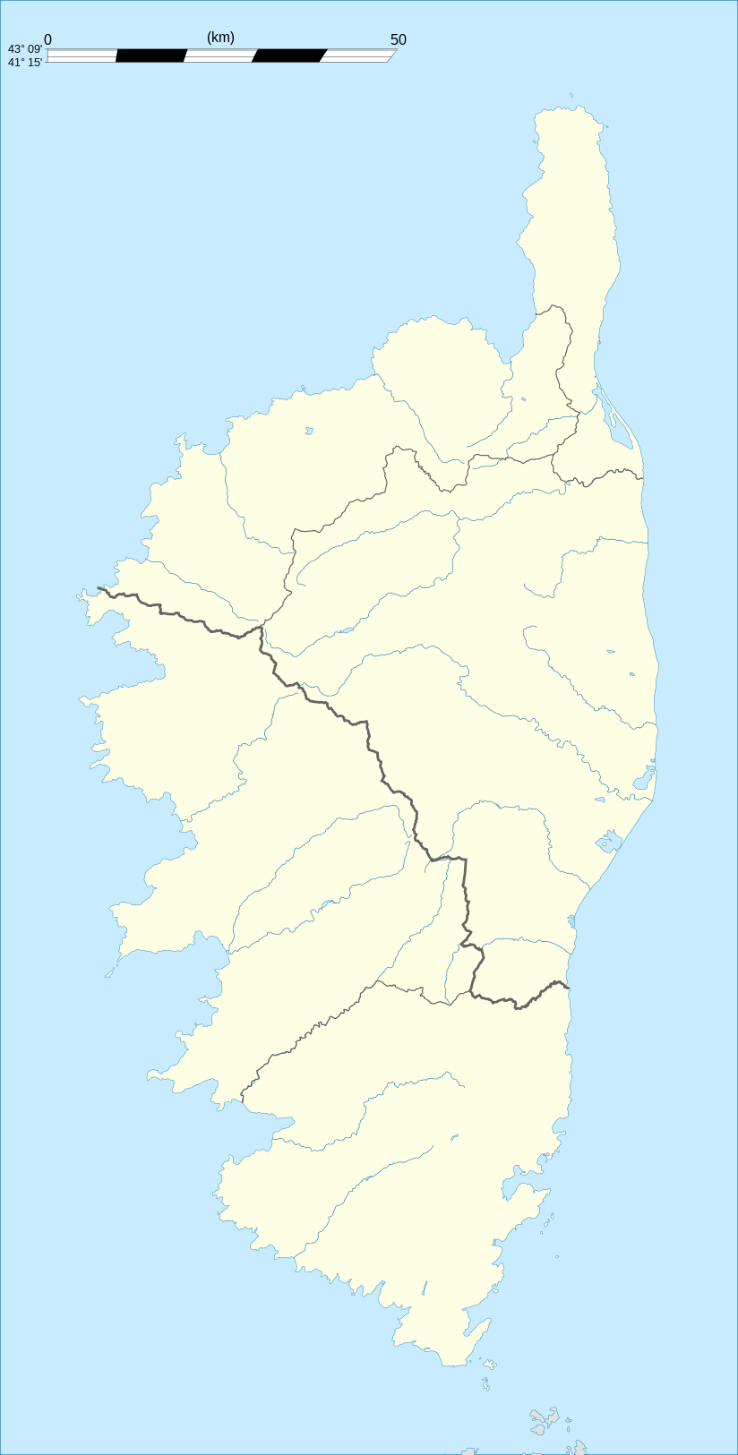
Corse region location map
Attribution:
Obraz jest oznaczony jako „Wymagane uznanie autorstwa” (attribution required), ale nie podano żadnych informacji o uznaniu autorstwa. Prawdopodobnie parametr atrybucji został pominięty podczas korzystania z szablonu MediaWiki dla licencji CC-BY. Autorzy mogą znaleźć tutaj przykład prawidłowego korzystania z szablonów.
Credit:
Praca własna
- Shorelines : NASA Shuttle Radar Topography Mission (SWBD) (public domain) ;
- Additional reference for confirmation: Géoportail.
- Reference for the 2010 arrondissements boundaries: Arrêté préfectoral n° 2009-1508
Krótki link:
źródło:
Wymiary:
824 x 1625 Pixel (195372 Bytes)
Opis:
Blank administrative map of the region of Corsica, France, for geo-location purpose, with distinct boundaries for departments and arrondissements as they are since January 2010.
The former version of the map shows the boundaries as they were until December 2009.
The former version of the map shows the boundaries as they were until December 2009.
Licencja:
Komentarz do licencji:
| Attribution and Share-Alike required |
|---|
| Any use of this map can be made as long as you credit me (Eric Gaba – Wikimedia Commons user: Sting) as the author and distribute the copies and derivative works under the same license(s) that the one(s) stated below. A message with a reply address would also be greatly appreciated. |
Warunki licencji:
Creative Commons Attribution-Share Alike 3.0
Więcej informacji o licencji można znaleźć tutaj. Ostatnia aktualizacja: Thu, 15 Dec 2022 09:16:35 GMT
