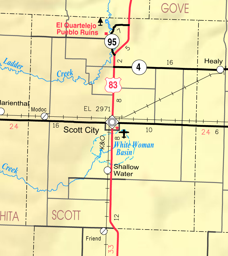
Map of Scott Co, Ks, USA
Autor:
Designed and published by the Kansas Department of Transportation.
Credit:
Kansas 2005–2006 Official Transportation Map [1] (map legend)
Krótki link:
źródło:
Wymiary:
794 x 890 Pixel (164824 Bytes)
Opis:
This map of Scott County, Kansas, USA, is copied at a resolution of 300 pixels/inch from the original PDF file.
Licencja:
Public domain
Komentarz do licencji:
Więcej informacji o licencji można znaleźć tutaj. Ostatnia aktualizacja: Thu, 06 Jan 2022 02:35:58 GMT