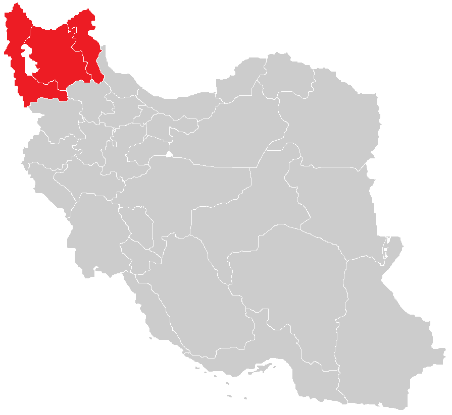
Map of the historical region of (Iranian) Azerbaijan
Autor:
HistoryofIran
Attribution:
Obraz jest oznaczony jako „Wymagane uznanie autorstwa” (attribution required), ale nie podano żadnych informacji o uznaniu autorstwa. Prawdopodobnie parametr atrybucji został pominięty podczas korzystania z szablonu MediaWiki dla licencji CC-BY. Autorzy mogą znaleźć tutaj przykład prawidłowego korzystania z szablonów.
Credit:
https://commons.wikimedia.org/w/index.php?title=File:Iranian-Azerbaijan.png&dir=prev#filehistory
Based on the sources;
- Adurbadagan during the late Sasanian period: A study in administrative geography by Mehrdad Ghodrat-Dizaji
- Northern Territories of the Sasanian Atropatene and the Arab Azerbaijan by Arsen Shahinyan
- The Iranian Expanse by Canepa
- Cambridge History of Iran vol 3 part 1 and 2
- A Reinterpretation of the Sasanian Relief at Salmas by Ehsan Shavarebi
- Ibn Khurradadhbih, Abu al-Qasim 'Abd Allah. Kitab al-Masalik wa'l-Mamalik. Ed and trans. M.J. de Goeje. Leiden: E.J. Brill, 1889.
- Le Strange, Guy. The Lands of the Eastern Caliphate: Mesopotamia, Persia, and Central Asia, from the Moslem conquest to the time of Timur. Cambridge: Cambridge University Press, 1905.
- Bosworth, C.E. "Zand̲j̲ān." The Encyclopaedia of Islam, New Edition, Volume XI: W–Z. Leiden: E. J. Brill, 2002 pp. 446–447.
- Minorsky, M. "Adharbaydjan." The Encyclopaedia of Islam, Vol I. New Edition. Leiden: E.J. Brill, 1960. ISBN 90-04-08114-3.
- Al-Tabari, Abu Ja'far Muhammad ibn Jarir. The History of al-Tabari. Ed. Ehsan Yar-Shater. 40 vols. Albany, NY: State University of New York Press, 1985-2007.
Krótki link:
źródło:
_Azerbaijan.png?uselang=pl)
Wymiary:
895 x 823 Pixel (22328 Bytes)
Opis:
Map of the historical region of (Iranian) Azerbaijan
Licencja:
Warunki licencji:
Creative Commons Attribution-Share Alike 4.0
Więcej informacji o licencji można znaleźć tutaj. Ostatnia aktualizacja: Sun, 13 Feb 2022 01:58:59 GMT