Ostrya virginiana range map
Autor:
Elbert L. Little, Jr.
Credit:
Digital representation of "Atlas of United States Trees" by Elbert L. Little, Jr. 1999. U.S. Geological Survey. [1]
Krótki link:
źródło:
Wymiary:
556 x 720 Pixel (65321 Bytes)
Opis:
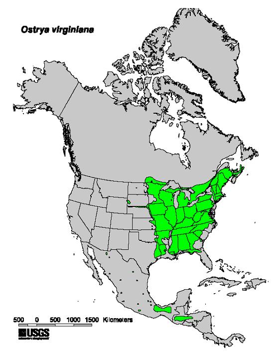
Natural range map of Ostrya virginiana — American Hophornbeam.
Licencja:
Public domain
Więcej informacji o licencji można znaleźć tutaj. Ostatnia aktualizacja: Tue, 18 Oct 2022 20:42:23 GMT