SC-La Riviere Anglaise
Autor:
Credit:
Krótki link:
źródło:
Wymiary:
457 x 601 Pixel (8250 Bytes)
Opis:
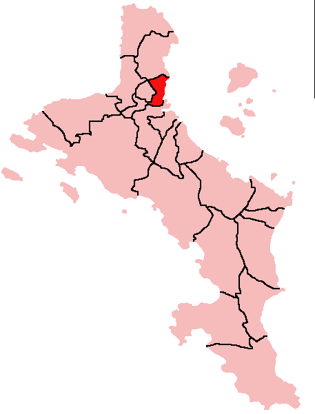
Map of Mahe Island, Seychelles showing English River District; created with the GIMP. Made by User:Acntx.
Licencja:
Warunki licencji:
Creative Commons Attribution-Share Alike 3.0
Więcej informacji o licencji można znaleźć tutaj. Ostatnia aktualizacja: Sun, 13 Nov 2022 21:42:12 GMT