The M22 at Ballygrooby - geograph.org.uk - 220940
Autor:
Credit:
From geograph.org.uk
Krótki link:
źródło:
Wymiary:
640 x 426 Pixel (138550 Bytes)
Opis:
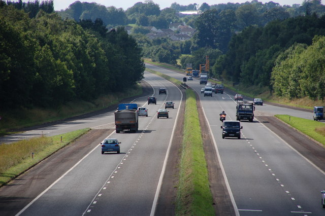
The M22 at Ballygrooby.
The M22 was intended as a westward extension of the M2 from Antrim to Castledawson carrying traffic for the north west of NI. It opened in two sections in 1971 and 1973 to just beyond Randalstown. The remainder was never built although the statutory procedures are now underway to build a dual carriageway instead. This is the view west towards Castledawson at Ballygrooby near Randalstown.
Licencja:
Komentarz do licencji:
Creative Commons Attribution Share-alike license 2.0
Warunki licencji:
Creative Commons Attribution-Share Alike 2.0
Więcej informacji o licencji można znaleźć tutaj. Ostatnia aktualizacja: Fri, 25 Feb 2022 12:35:10 GMT