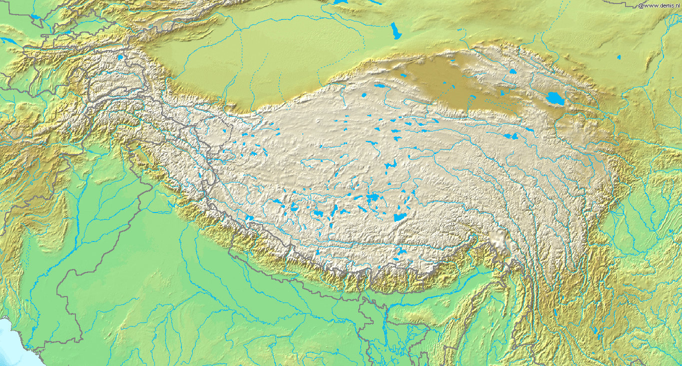
Topografic map of Tibetan Plateau
Autor:
Nieznany
Krótki link:
źródło:
Wymiary:
1365 x 732 Pixel (678672 Bytes)
Opis:
Topografic map of the Tibetan Plateau in Asia.
- Bounding box West 66°, South 23°, East 108°, North 42°.
Licencja:
Public domain
Komentarz do licencji:
This image is in the public domain because it came from the site https://www.demis.nl/products/web-map-server/examples/ and was released by the copyright holder. Permission is granted to copy, distribute and/or modify this map since it is based on free of copyright images from: www.demis.nl. See also approval email on de.wp and its clarification.
Więcej informacji o licencji można znaleźć tutaj. Ostatnia aktualizacja: Wed, 11 Jan 2023 00:06:38 GMT