USACE Mansfield Hollow Lake
Autor:
U.S. Army Corps of Engineers, photographer not specified or unknown
Credit:
U.S. Army Corps of Engineers Digital Visual Library
Image page
Image description page
Digital Visual Library home page
Image page
Image description page
Digital Visual Library home page
Krótki link:
źródło:
Wymiary:
1500 x 1203 Pixel (1600829 Bytes)
Opis:
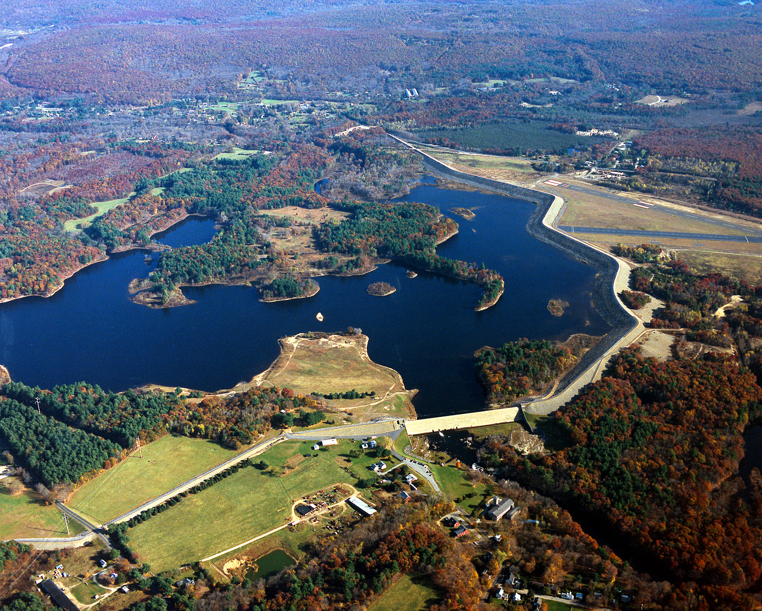
Mansfield Hollow Lake in Tolland County, Mansfield, Connecticut, USA. The U.S. Army Corps of Engineers constructed the dam as a flood control measure. It impounds the waters of the Fenton, Mount Hope, and Natchaug Rivers.
Licencja:
Public domain
Komentarz do licencji:
This image or file is a work of a U.S. Army Corps of Engineers soldier or employee, taken or made as part of that person's official duties. As a work of the U.S. federal government, the image is in the public domain.
Więcej informacji o licencji można znaleźć tutaj. Ostatnia aktualizacja: Mon, 26 Dec 2022 01:40:03 GMT