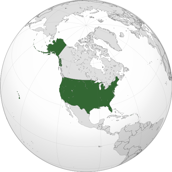
USA orthographic
Autor:
Attribution:
Obraz jest oznaczony jako „Wymagane uznanie autorstwa” (attribution required), ale nie podano żadnych informacji o uznaniu autorstwa. Prawdopodobnie parametr atrybucji został pominięty podczas korzystania z szablonu MediaWiki dla licencji CC-BY. Autorzy mogą znaleźć tutaj przykład prawidłowego korzystania z szablonów.
Credit:
Praca własna with Natural Earth Data
Krótki link:
źródło:
Wymiary:
551 x 551 Pixel (911086 Bytes)
Opis:
A map of the hemisphere centred on -100, 45, using an orthographic projection, created using gringer's Perl script with Natural Earth Data (1:50000 resolution, simplified to 0.25px). The United States (the contiguous United States, Alaska, and Hawaii; not including Puerto Rico and other territories that belong to, but are not a part of the United States) highlighted in green.
Official territory.
Licencja:
Warunki licencji:
Creative Commons Attribution-Share Alike 3.0
Więcej informacji o licencji można znaleźć tutaj. Ostatnia aktualizacja: Sat, 07 Jan 2023 04:38:25 GMT
