Wellington landsat labelled
Autor:
NASA, edited by en:User:Clawed
Credit:
en:wikipedia
Krótki link:
źródło:
Wymiary:
1280 x 948 Pixel (211004 Bytes)
Opis:
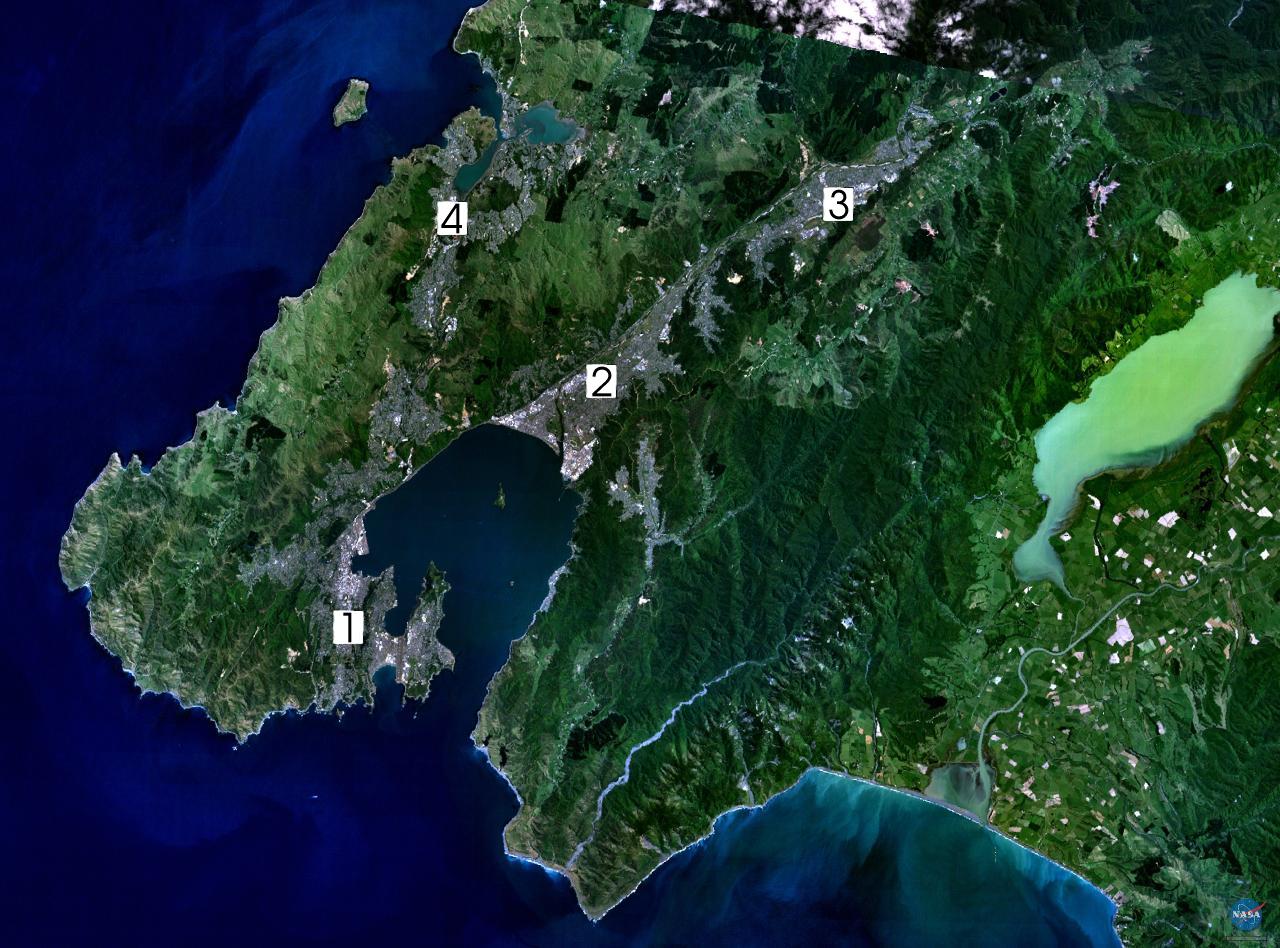
Satellite photo of the Wellington conurbation: (1) Wellington; (2) Lower Hutt; (3) Upper Hutt; (4) Porirua.
Licencja:
Public domain
Komentarz do licencji:
|
|
This image is in the public domain because it is a screenshot from NASA’s globe software World Wind using a public domain layer, such as Blue Marble, MODIS, Landsat, SRTM, USGS or GLOBE.
|
|
Więcej informacji o licencji można znaleźć tutaj. Ostatnia aktualizacja: Mon, 04 Jul 2022 06:37:56 GMT