West ukraine
Autor:
Credit:
Praca własna
Krótki link:
źródło:
Wymiary:
874 x 929 Pixel (63507 Bytes)
Opis:
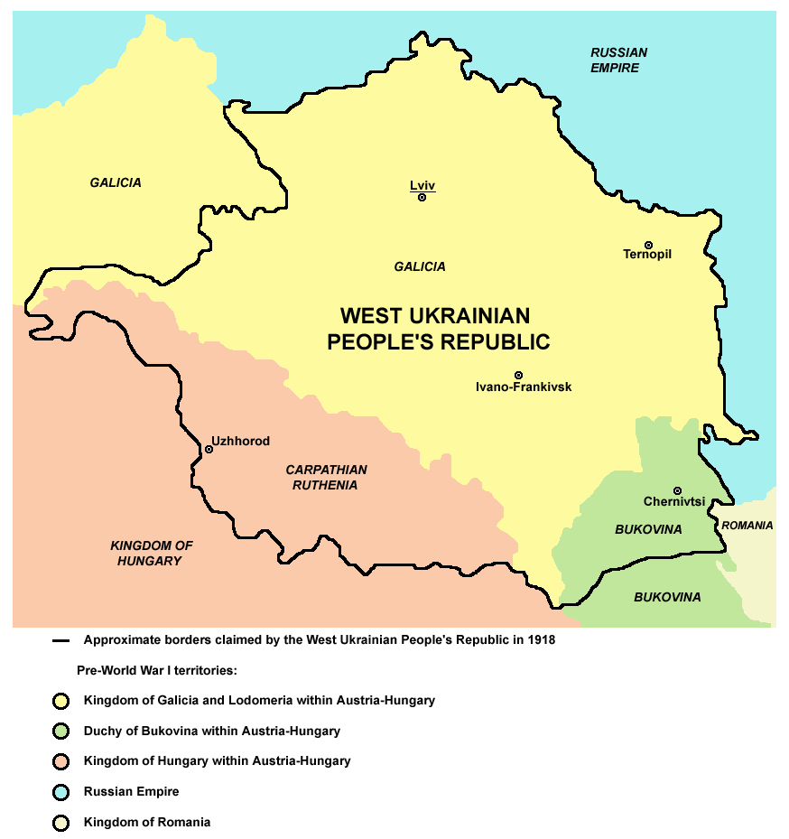
Map of the areas claimed by the West Ukrainian People's Republic in 1918.
Licencja:
Public domain
Komentarz do licencji:

|
This map has been uploaded by Electionworld from en.wikipedia.org to enable the |
Więcej informacji o licencji można znaleźć tutaj. Ostatnia aktualizacja: Thu, 12 Jan 2023 00:34:21 GMT